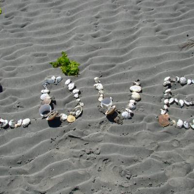
Temporary Closure of Beaches to Dogs
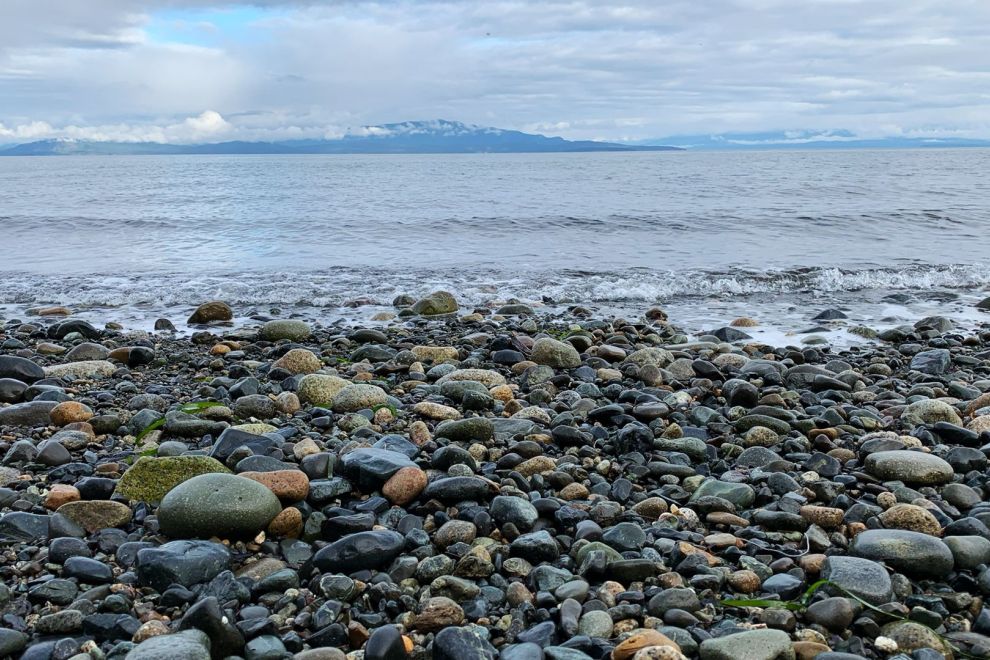
Beaches within the Parksville Qualicum Beach Wildlife Management Area (PQBWMA) will be temporarily closed to dogs to the annual Brant geese migration. Rathtrevor Beach will be closed to dogs from February 15 to April 30. Parksville Bay Beach and Qualicum Beach from March 1 to April 30.
More InfoAbout Vancouver Island
Find out more about the economy and geography of Vancouver Island.
Economy
Other than in the urban centre of Victoria, the Island's economy is made up largely by forestry, with tourism, and fishing also playing major roles.
The Island also has a vineyard industry that is expanding rapidly and produces wines that have outscored French counterparts in blind tasting tests.
The Island also has an information technology industry that is developing strongly. Broadband internet service is provided by Shaw, Telus, CRTV and CRCable.Net. Wireless internet can be found throughout the Island and many allow free access. Post-secondary education is an economic driver in Greater Victoria with over 50,000 students and staff. The University of Victoria, Royal Roads University, and Camosun College are the main post-secondary institutions in the Greater Victoria region. Vancouver Island University, formerly known as Malaspina University-College, has its main campus in Nanaimo and other campuses in Duncan, Parksville, and Powell River.
The favourable climate and beautiful setting has also made the Island an attractive retirement destination. The town of Qualicum Beach may be the best example as its residents have the highest average age in Canada. The “retirement industry” fuels real estate and assisted care developments that drive the strong construction economy.
Geography
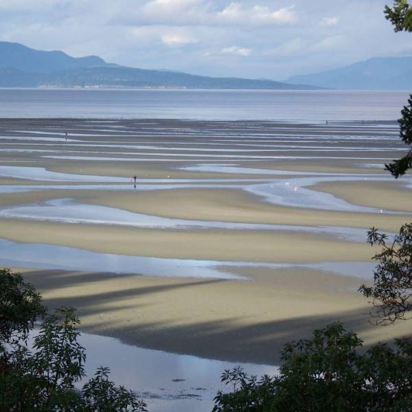
Vancouver Island (coordinates), is located along the south west coast of British Columbia, Canada. The Island is surrounded by the Pacific Ocean on the west, Queen Charlotte Strait on the north, Johnstone Strait on the northwest, Georgia Strait on the west, and the Strait of Juan de Fuca on the south that separates it from Washington state, USA.
The Vancouver Island Ranges make for a wet and rugged west coast and a dry, more rolling east coast. The Golden Hinde, at 2195 m or 7200’ is the highest point and is located near the Island's centre in Strathcona Provincial Park. The Golden Hinde is part of a group of peaks that include the only glaciers on the Island, the largest of which is the Comox Glacier.
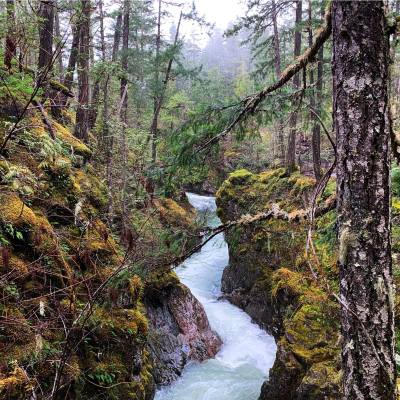
The rugged, and in many places mountainous, west coast is characterized by fjords, bays, and inlets. It is also known for beaches such as Long Beach and Wickaninnish Beach in Pacific Rim National Park, between Ucluelet and Tofino BC. The Island’s interior has many lakes (including Kennedy Lake, Lake Cowichan, Cameron Lake, Horne Lake) and rivers (including the Nanaimo, Englishman, Little Qualicum, Campbell). The Island formed when volcanic and sedimentary rock scraped off the ancient Kula Plate and plastered against the continental margin when it was subducting under North America 55 million years ago.
“ The Island’s climate is envied by the rest of Canada due to its mild winters and moderate summers. ”
Beaches
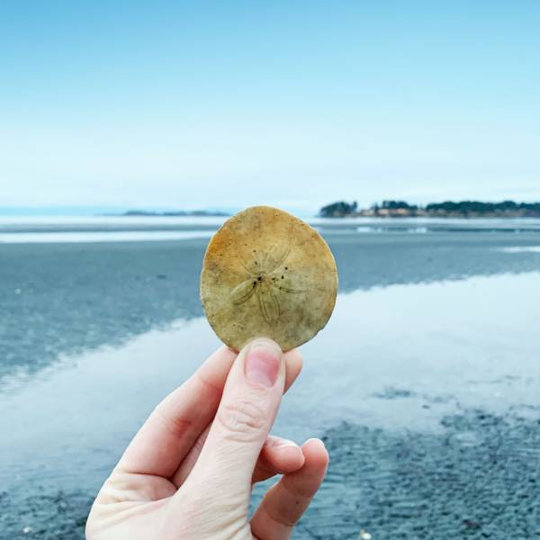
Stunning Coastline
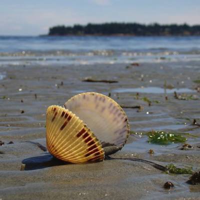
Relax on our sandy beaches, where the tides are welcoming year-round. Image: @juliiathompson
Learn More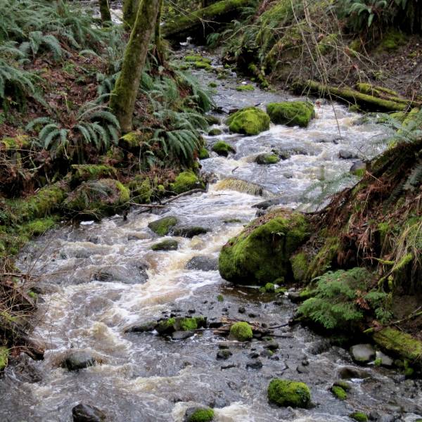
AdventureSmart
Safety First
No matter what outdoor activity you are planning, be prepared. Follow the three Ts—trip planning, training, and taking the essentials. AdventureSmart is a great resource to help you get informed before heading outdoors.
Learn More